 Earths-Ends
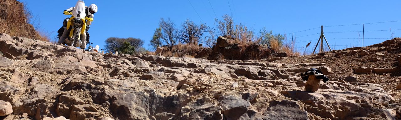
Riding the Wild Side of the Omo

Blog 55 by Mick: Riding the Wild Side of the Omo
With all the people about in the morning, we got away later that we would have liked. And we didn’t have any breakfast either, as everywhere we went there were eyes on us, so we hit the road and hoped we could find something in Kibish Surma.
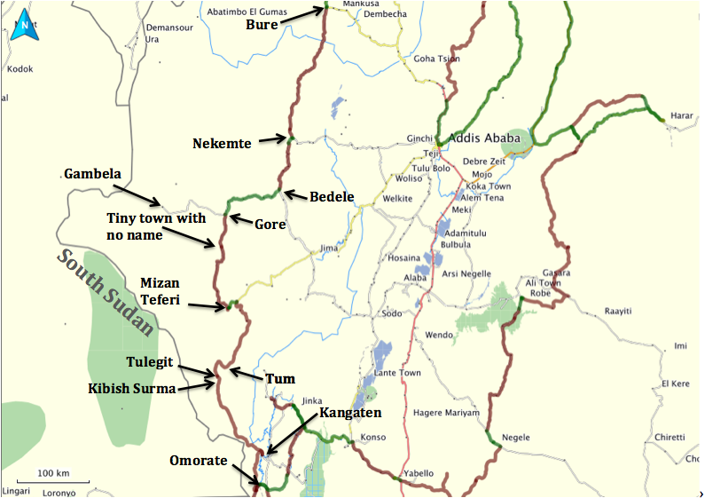
A map of our previous days riding and next few days riding. This post goes from Tulegit to Dick and Donna’s house just south of Omorate on the west side of the Omo, about 245km all up, most of it genuine off-road or completely off-piste, and some of it less than 4km from the South Sudan border.
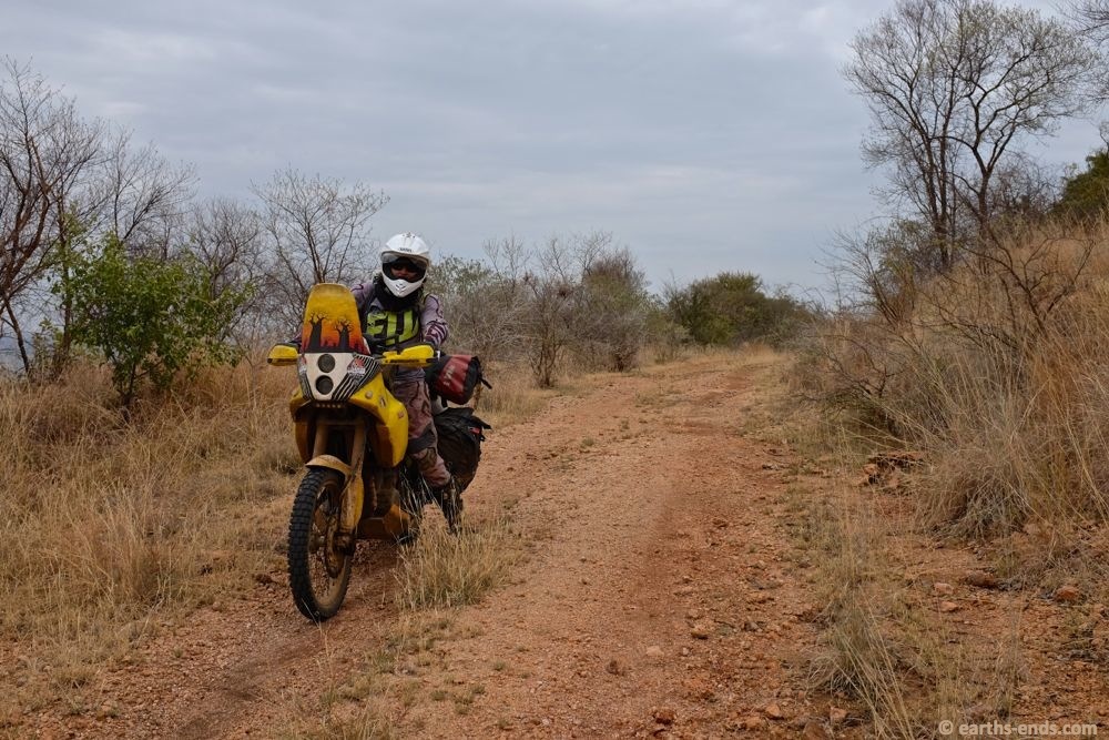
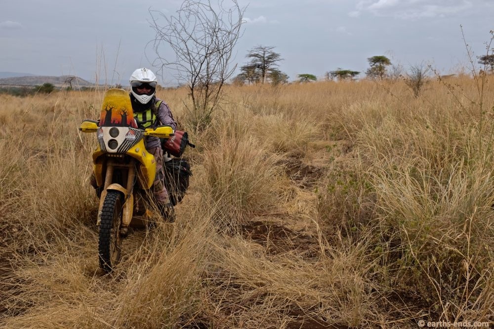
Out of Tulegit there was a quick little mountain pass to get over to Kibish Surma
On the way down the pass
Over the little pass from Tulegit to Kibish Surma, we found a little teahouse in town and stopped for some food. It was only simple fried bread and sweet tea, but it was a good start and what we needed. Our notes said that the turn off we needed was back at the start of town going off to the right. I didn’t remember seeing a road on either side as we entered, so we backtracked carefully and found a small track, which by sheer lack of alternatives, just had to be it. There was nothing else.
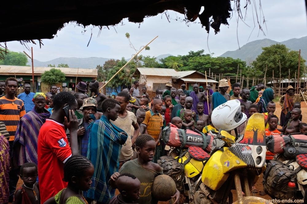
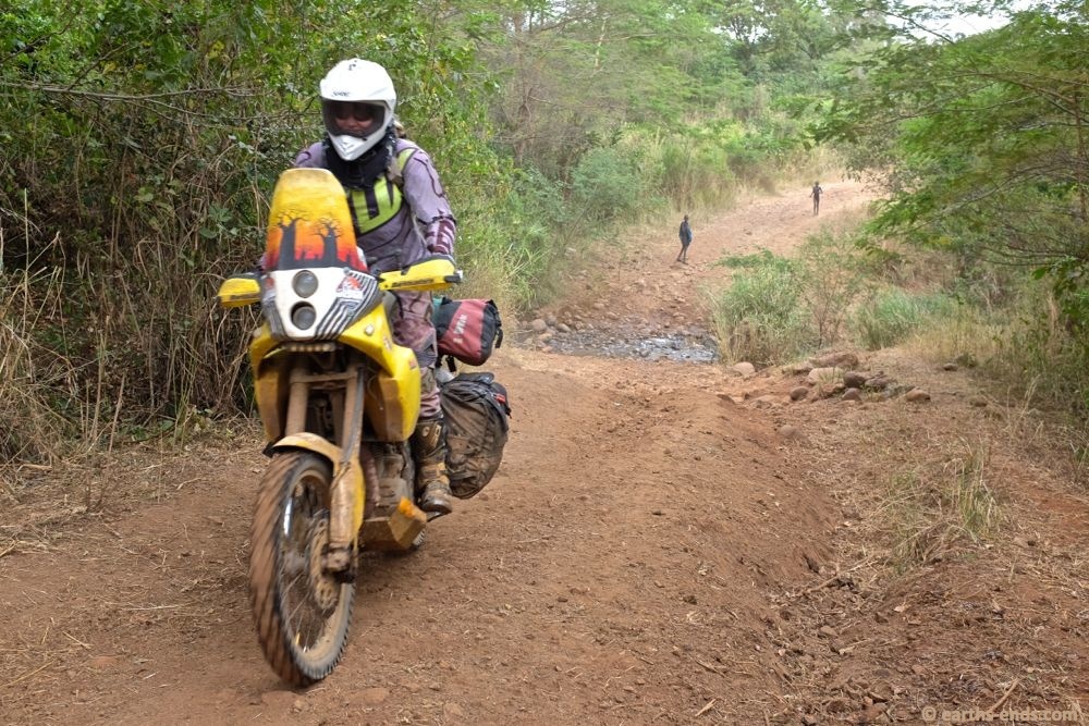
In Kibish Surma we stopped for some bread and tea, and got swamped by people, mostly Suri but some highlanders as well.
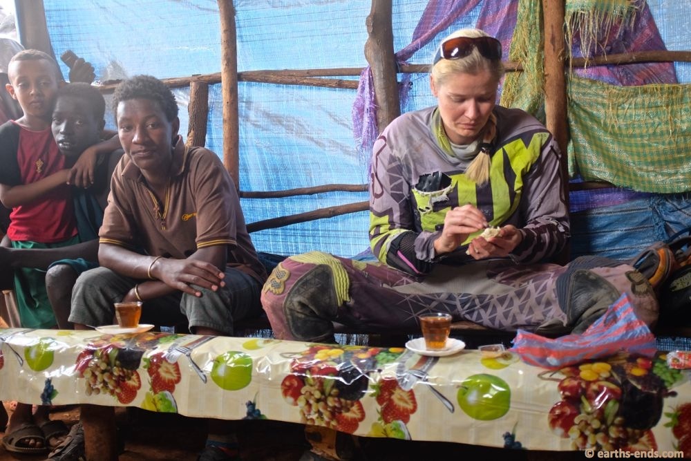
Breakfast… a late one. We were hungry!
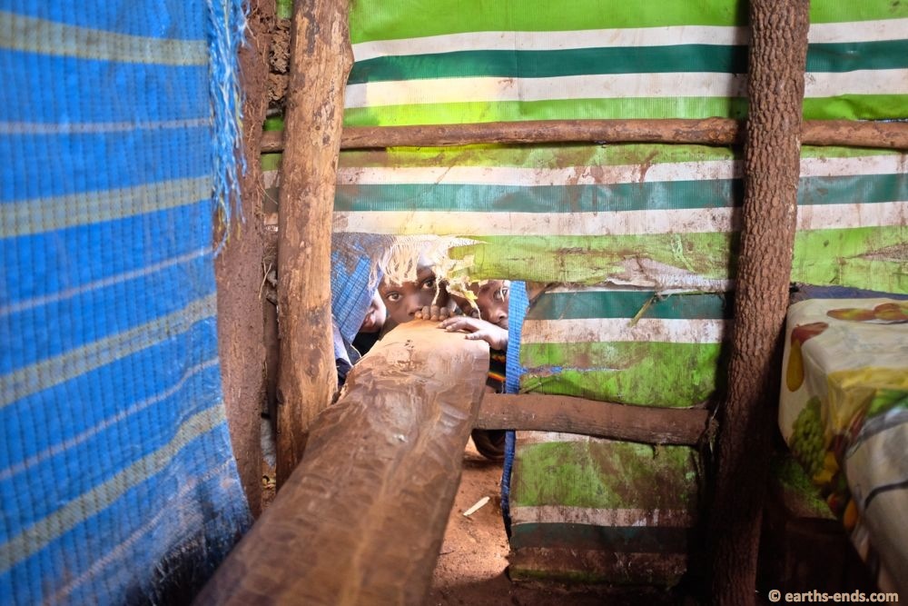
The kids couldn’t help but look; everywhere there was a set of eyes on us.
Leaving town…
About 100m down the track we found a school with an adult in it, so I pointed down the track and asked “Kangaten?” and got a nod of agreement. It wasn’t very reassuring though so I stopped and asked the same thing a kilometer later and got the same result. We were on the right track. We had to be.
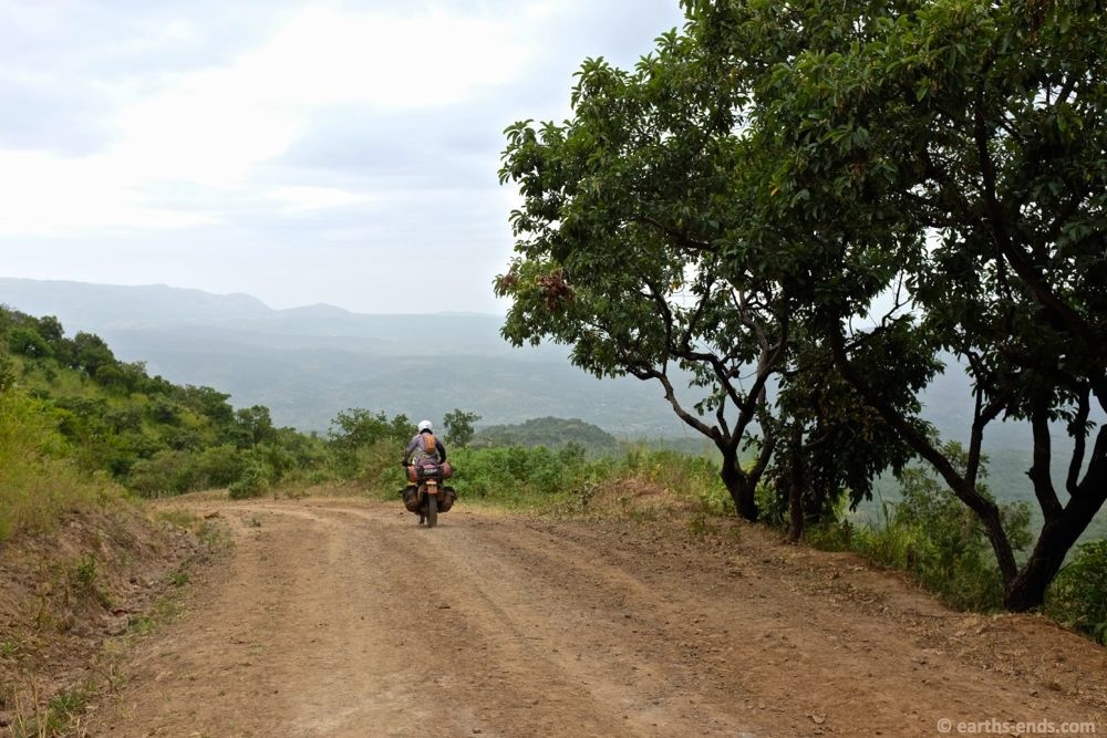
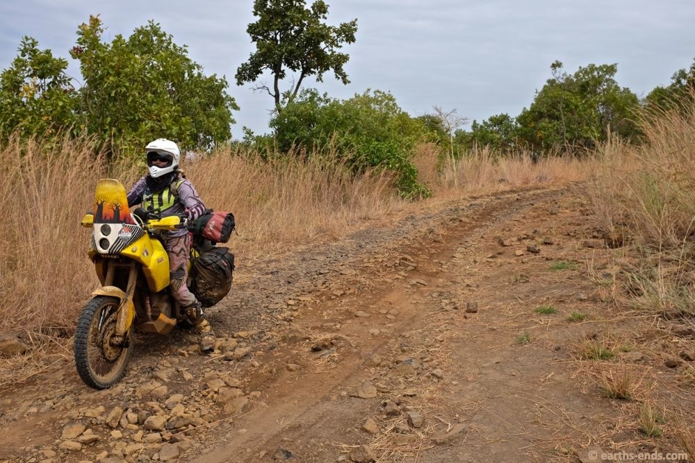
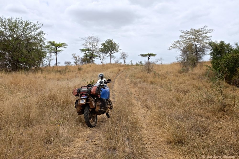
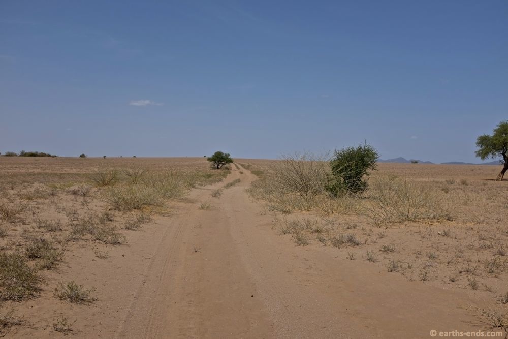
This was definitely more track than road.
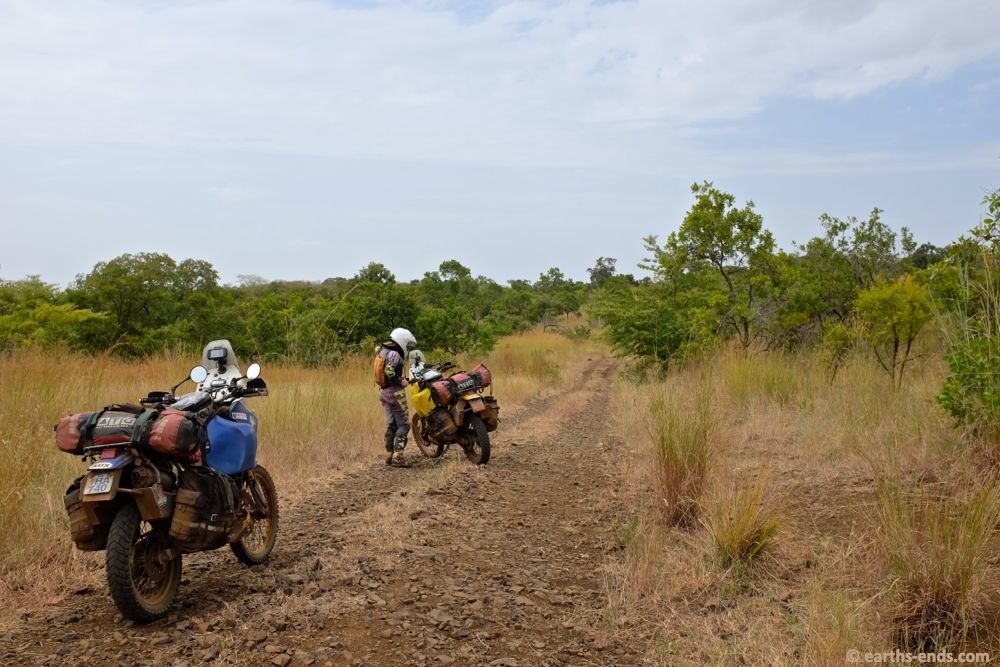
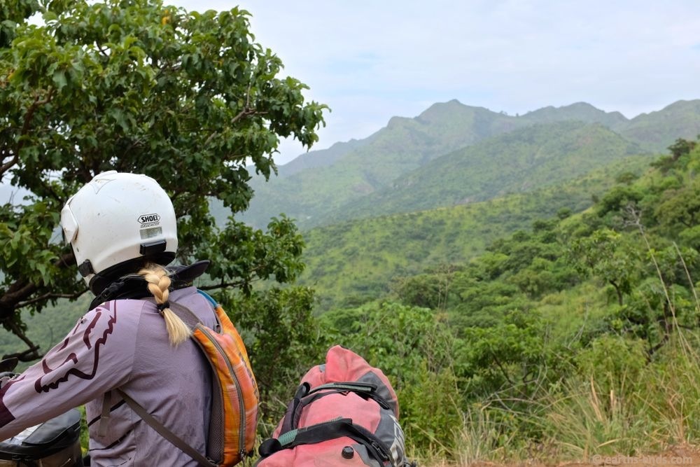
Stopping for a fluids stop and a few photos.
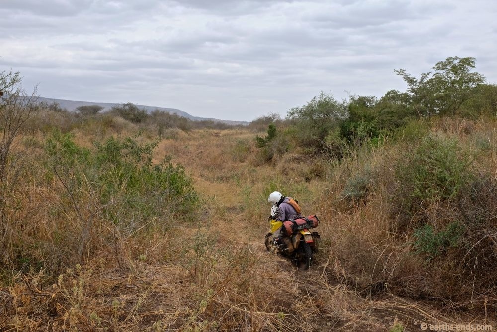
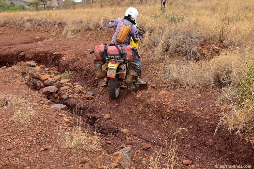
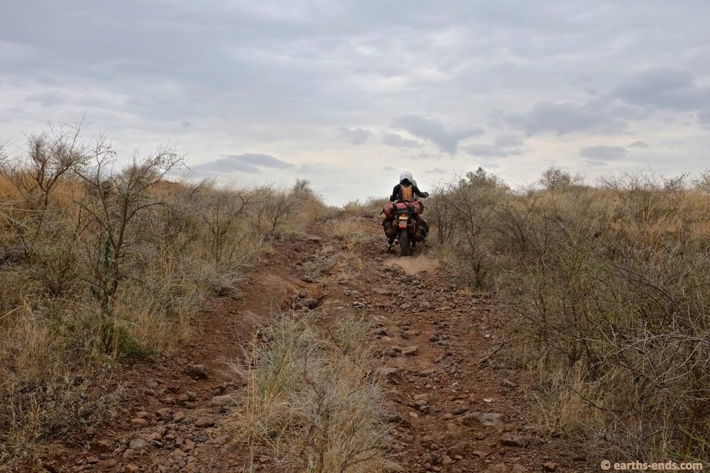
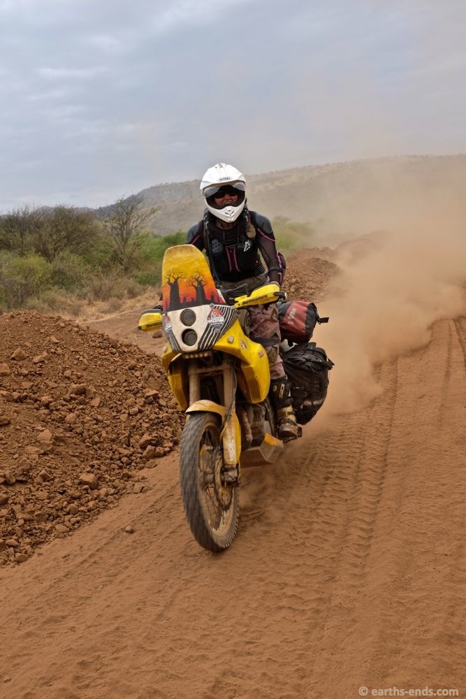
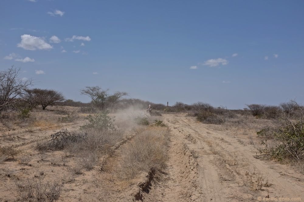
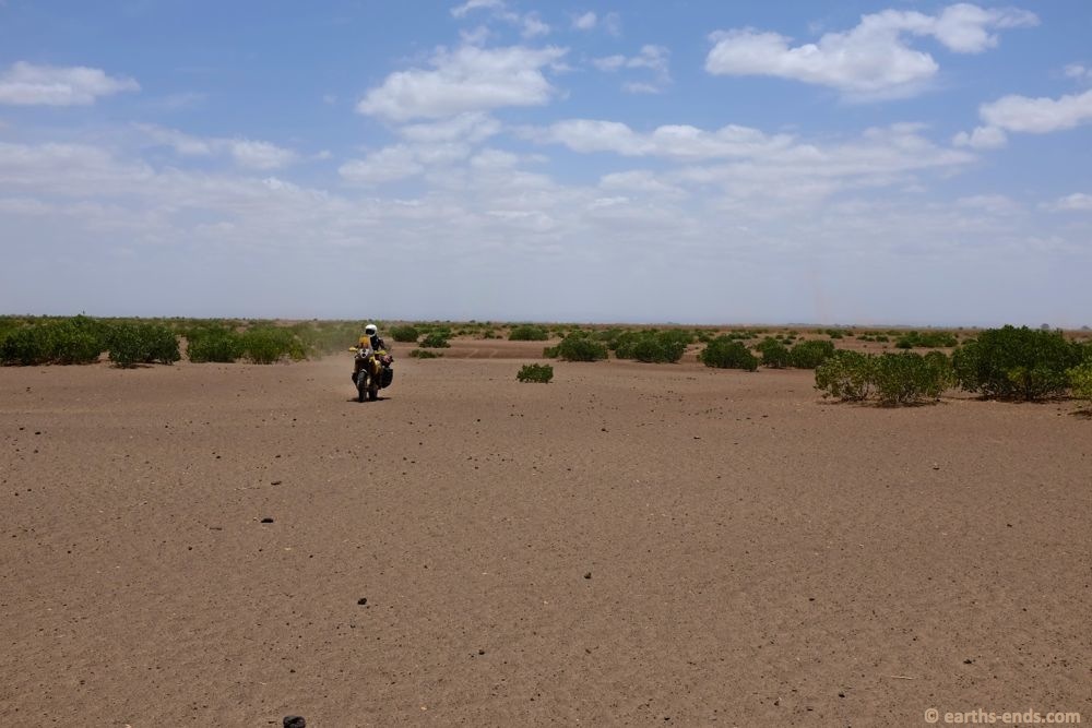
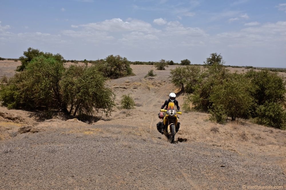
We weren’t far out of Kibish Surma and the track condition was deteriorating fast.
Lots of washouts, lots of b-lines around washouts…
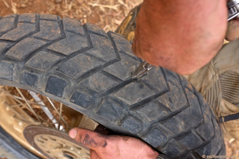
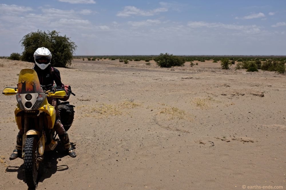
Maybe 20km south of Kibish Surma I got that squeamish feeling in the back end… flat tyre. Ended up being a little nail. You can see how rubbish the condition of our tyres was; these are Golden Tyre GT201s with a bit over 8000km on them with 50% of that being off-road (measured on our GPS). Tread depth was maybe a millimeter or so in the middle. So they are very very fast wearing for a 50/50 tyre. Quite unacceptable really. We wont be buying them again.
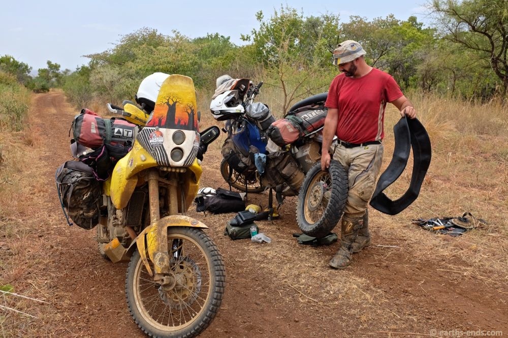
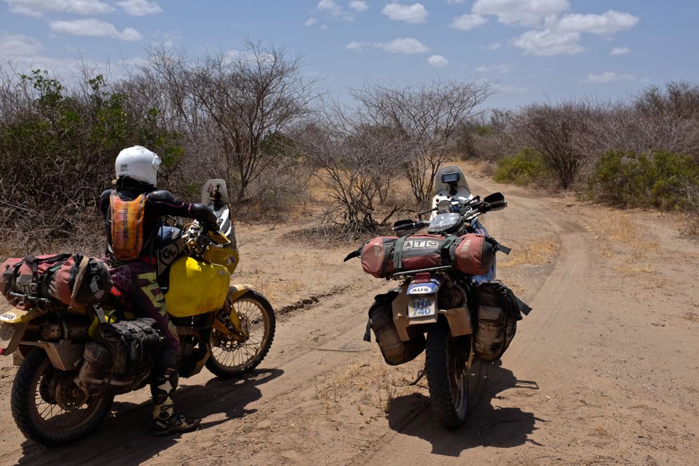
Fixing flat tyres, without doubt my most favourite job on the trip. Nothing brings joy like a flat tyre interrupting your journey on a hot summers day.
Mobile again… thankfully.
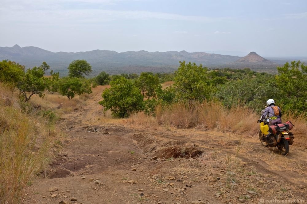
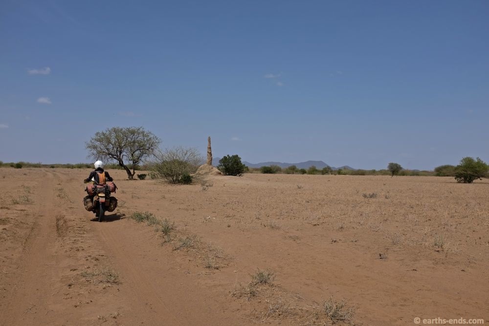
As we headed south, we got closer and closer to the Sudanese border. I knew we were getting close so I kept the GPS zoomed out far enough so I could keep track of just how close we were. The last thing I wanted was to mistakenly end up on some side-trail and get within a few hundred metres of the border. But with a few kilometres buffer I figured we were far enough.
Before leaving Tulegit in the morning, the local police had turned up and wanted some medication off us that we simply couldn’t provide. We ended up talking about our route and they mentioned no one had been down the trail from Kibish Surma to Kangaten for about a year. We were near the end of the wet season (or what should have been, thankfully for us this region had seen little rain), and the last time they knew of someone driving the track was was at the start of the previous dry season nearly a year before. They said it would be overgrown and washed out. And they were right.
Now not so much of a track…
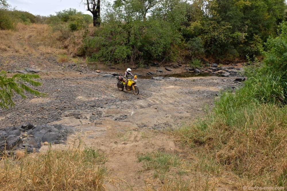
With a few sandy and rocky creek beds to cross
Track getting grassy…
And pretty much gone in this section around a significant washout
Through the washout
Onwards…
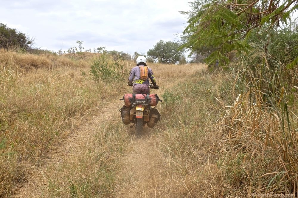
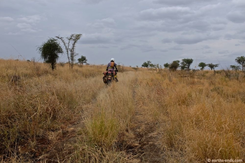
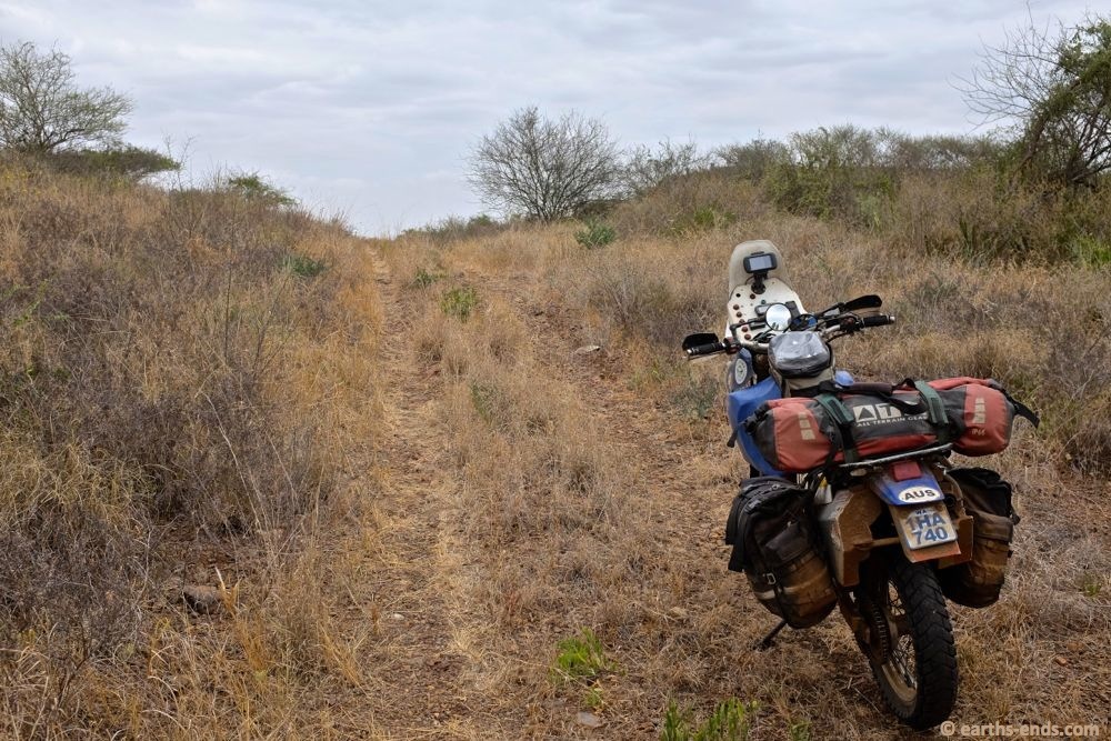
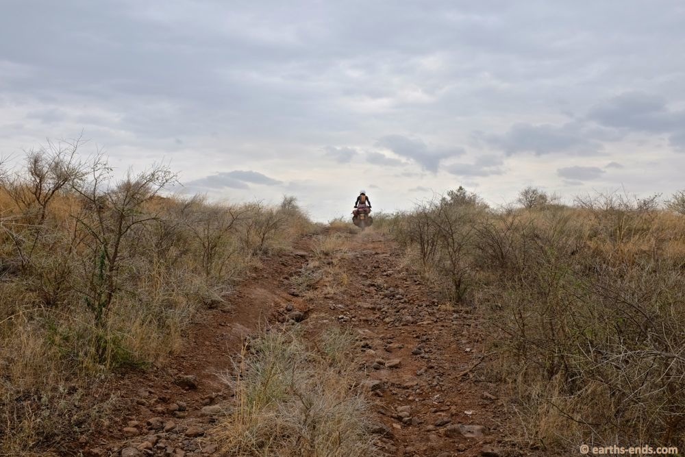
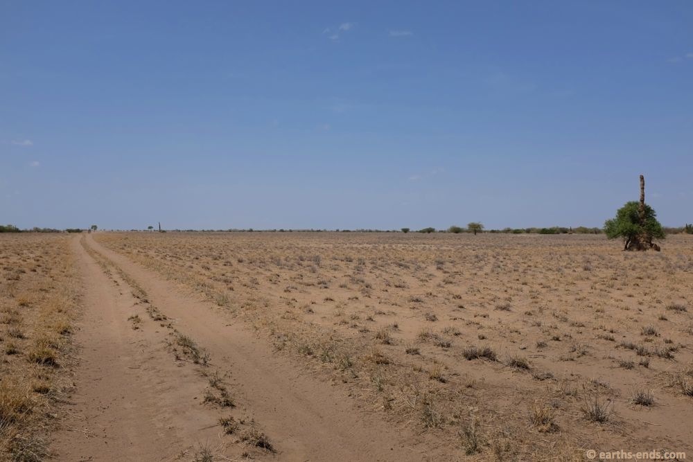
Kilometres and kilometres of grassy trail
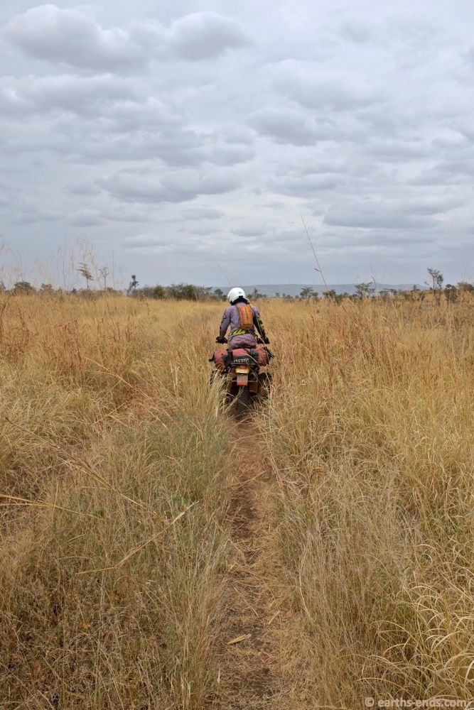
Some of it we were just following the line where the grass overlapped
Another washout. The combination of ruts and grass was a dangerous one; at one stage within about 10 seconds of each other both Tanya and I had I feet knocked off the pegs by hidden ruts. Mine was riding along in maybe 3rd, dropped into a rut and knocked my right foot which was dragged back into may pannier bag. It was super painful, and only a couple seconds after tanya did near exactly the same thing in the same spot. Good lesson in that – TOES IN. A few days later a very deep bruise appeared on the sole of my foot.
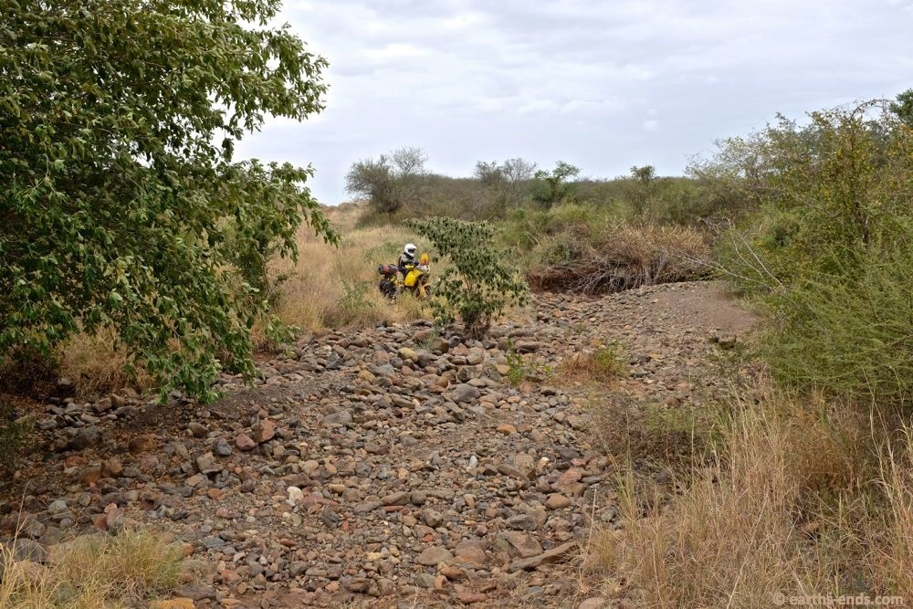
A more significant creek bed to cross, the trail just ended in the creek bed and started again on the other side. It seemed as though no one had been through since the creek had last flowed.
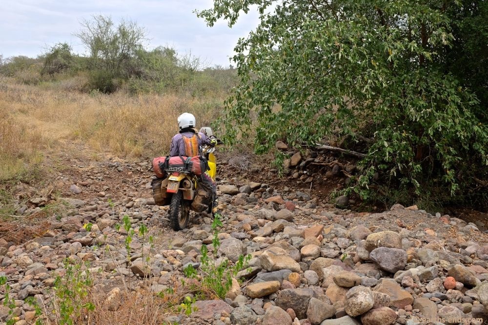
Tan getting out the other side after bashing over some decent sized rocks.
Up out of the riverbed…
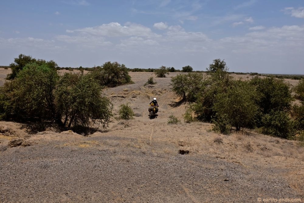
The track deteriorated to either rocks, grass, creek beds or washouts. Lots and lots of washouts.
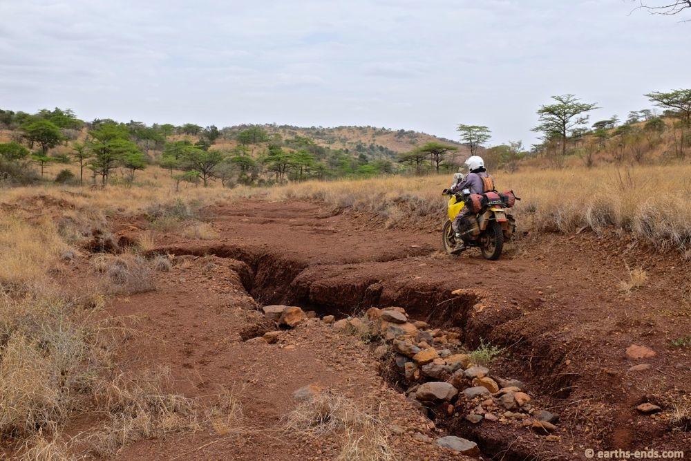
This particular one was pretty deep.
Our dodgy GT201 rear tyres were no match for the rocks we were riding. They had worn so fast and with basically no tread left, we struggled on the loose rocks. Here Tan went up and spun the rear wheel and bounced off the track. Then thought “bugger it” and we stopped for a rest before carrying on.
It was slow going picking our way around these washouts.
Another rocky climb, Tan struggling here with wheel spin
Up on the pegs after getting some traction.
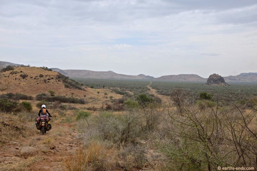
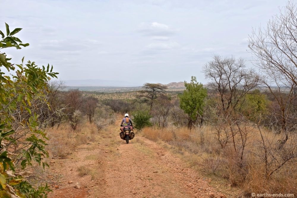
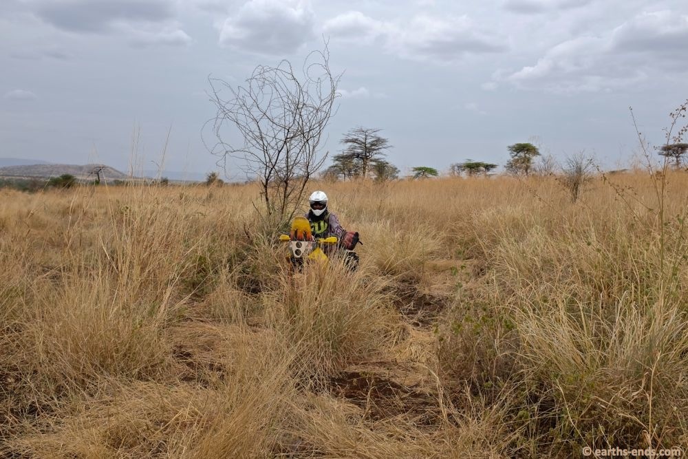
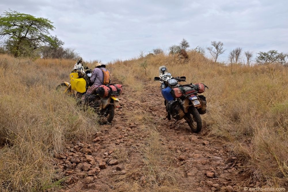
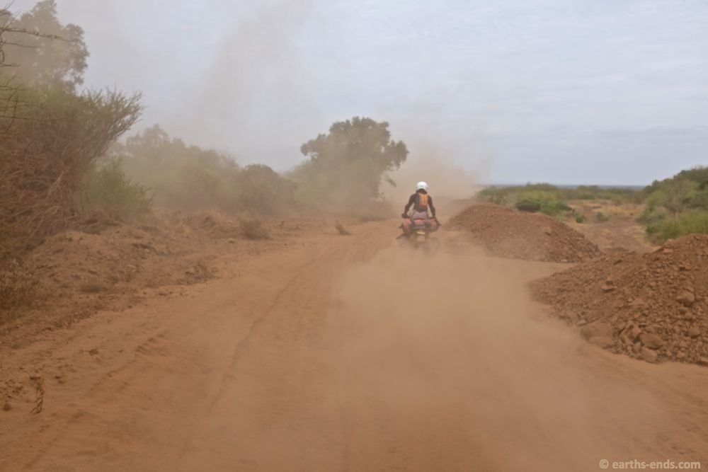
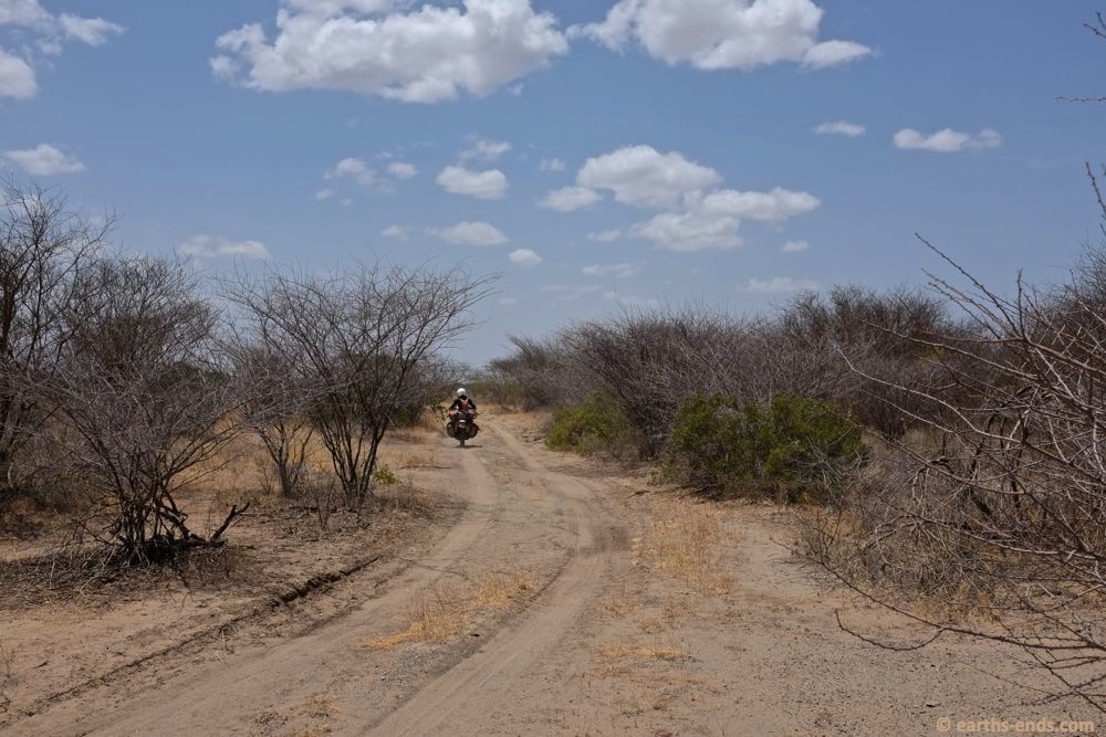
Lots of kilometres of trails like this. We didn’t see a soul. On and on and on and no one.

Curiously, we came over a hill and descended a bit and boom, we were in a mini quarry, with a loader and a little crushing plant. It was a Chinese run quarry for road construction. There was only one Chinese guy from Zhejiang province, and he ran the loader and crusher. This Ethiopian guy was his handler and seemed excited to have someone to talk to with his English. Tan and the Chinese guy had some good chats.
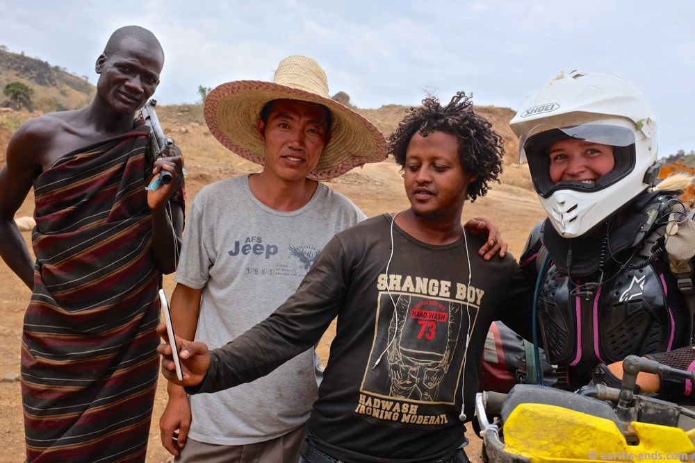
How’s this for a cultural spread. Suri. Han. Amhara. ‘strayan.
The Chinese guy was super hospitable and wanted to show us the way to Kangaten, so he hoped in his truck and said, “follow me”
We then choked in the bulldust, however, it was a nice gesture nonetheless. With all the roadworks going on, there were little trails all over the place so having someone there to show the right one to ride was nice.
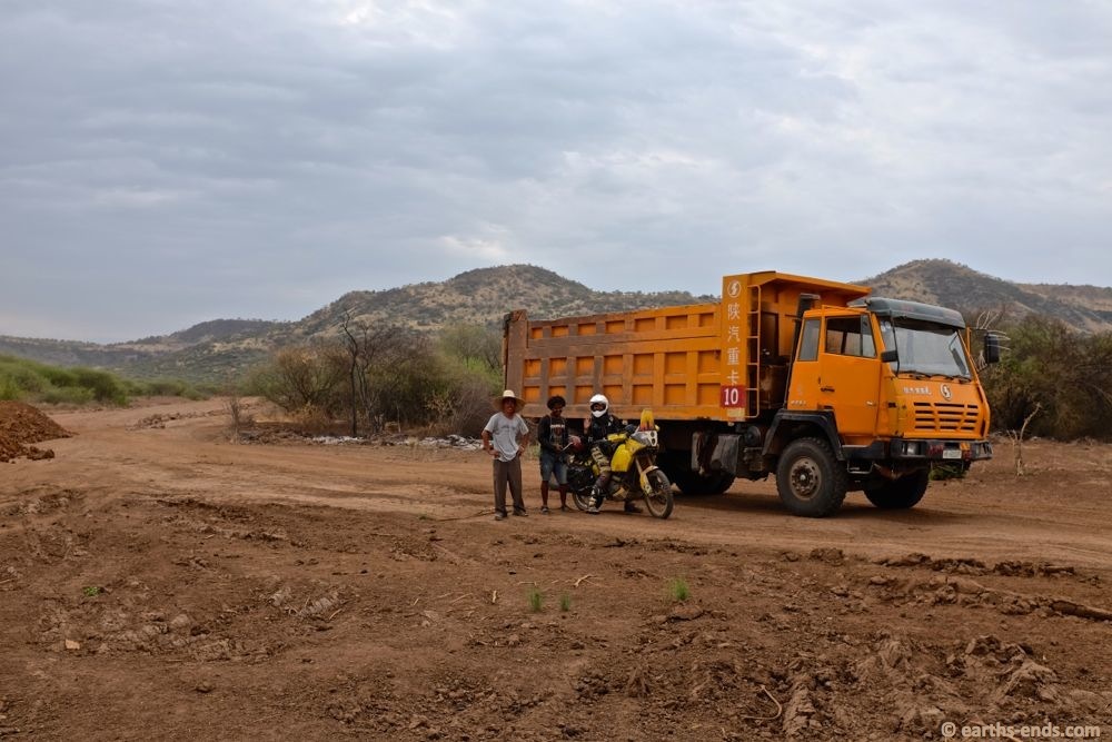
Saying goodbye to the Chinese guy and his Amharic handler. I think they enjoyed the weird experience of two bikers popping up from nowhere over the wrong side of a hill.
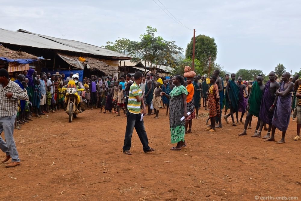
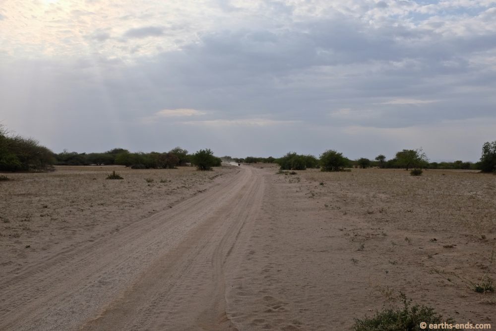
We got onto some newly constructed road base and made some good time to Kangaten.
With the late start in the morning, the flat tyre, and the slow progress down the trail with all the washouts and bad track, we were making slow progress. By the time we turned south a few kilometres form the outskirts of Kangaten we had a little less then 2 hours of sunlight left. With only 75km to go I was keen to push on, and we did. We made a few kilometers south in nasty sand and some shocking bulldust until we found a road building crew for a new road that was cutting the trail we were on at 90 degrees. There were quite a few Chinese there and Tan asked about the trail ahead and accommodation in Kangaten, which they replied there was a hotel and the trail ahead was bad. So we decided to play it safe and turn back and get a cheap hotel room. Tanya was worried about the trail and fatigued, and wanted some time up our sleeve if we were to get a flat tyre. I reluctantly saw reason and we backtracked a few kilometers to Kangaten and found a cheap hotel for the night.
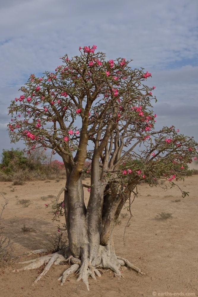
A desert rose in flower.
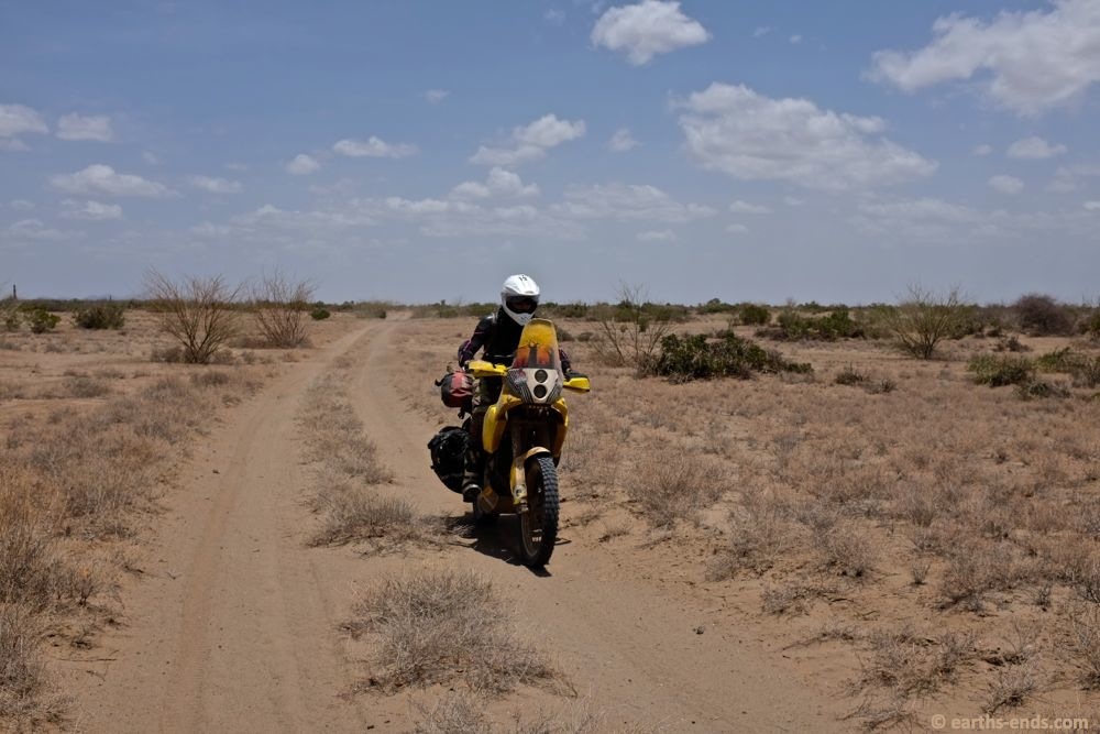
On some sandy but easy trails.
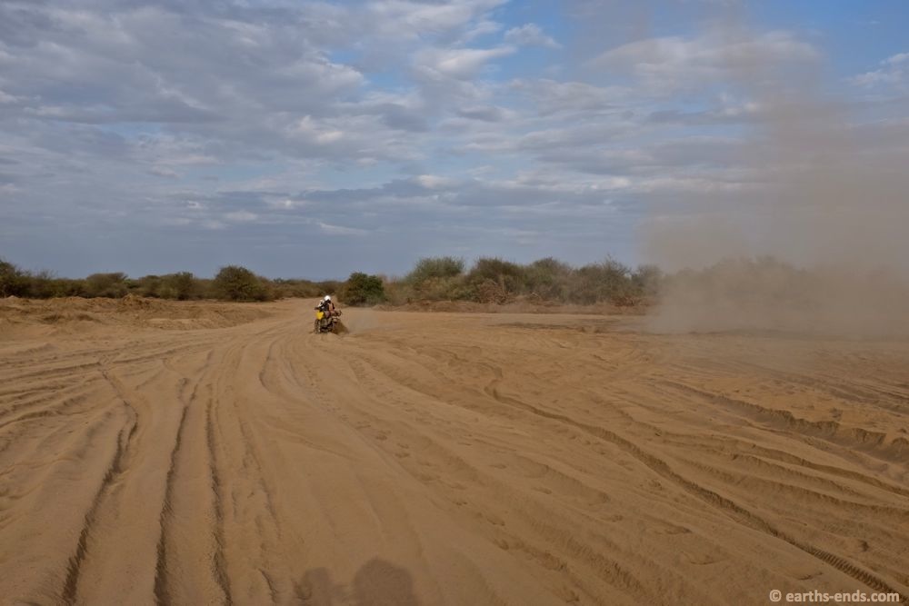
A massive bulldust hole in the late afternoon. We actually crossed this bloody thing 3 times. Once south, once north back to Kangaten, then the third time heading south the next day.
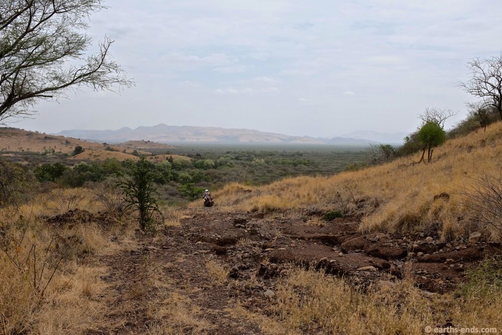
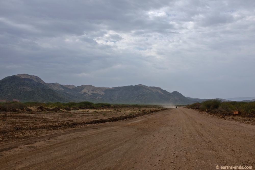
Heading south the next day. Once we were through the sand and bulldust we came out into some open savannah.
Twin track into the horizon, nice. Just the way I like it.
Southwards. Southwards we go
We love this type of riding. Some people are mountain people. But we are desert people.
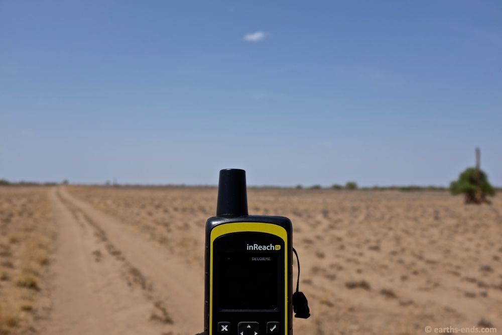
Another broken InReach photo. We were really quite frustrated with them at this time as the device had started to fail with an intermittent “damaged device warning” all the way back in Namibia (our country of purchase) and we reported the issue there and then and offered to return it and they ignored us. When we pushed them they gave us bad advice to reboot it. So when the intermittent warning returned about 2 weeks later we dug our heels in. Hence our frustration and the photos of their malfunctioning unit in out of the way places. Thankfully after lots of arguing and squabbling they finally came to the party and replaced the malfunctioning unit. However they left it to us to get it to Africa, they wouldn’t send it out of the US. In their advertising, every third word is ‘adventure’ but in the real world if it breaks any place other than the shop’s carpark where you bought it you are pretty stuffed. So even though they replaced the unit, they get a distinct FAIL in the customer service department.
When we were planning this route, Dick had told us about a huge Acacia thicket south of Kangaten that we would have to ride through. At about 30kms or so wide, it was going to be murder on the arms and even worse on tyres. But we wouldn’t have it anywhere near his bad as his folks. When they had set up the mission station in late 50’s, they had driven two 4x4s all the way from Addis Ababa, including down the west side of the Omo River from Mizan Teferi as there was simply no way across the river other than get on the other side of it before the source. What we had done in a few days took them weeks. One thing that slowed them the most was this acacia thicket, which they literally had to chop a track through from north to south.
The acacia thicket Dick warned us of. There were lots of sandy tracks through the acacia, lots of alternative lines all over the place.
Rest break in the thicket
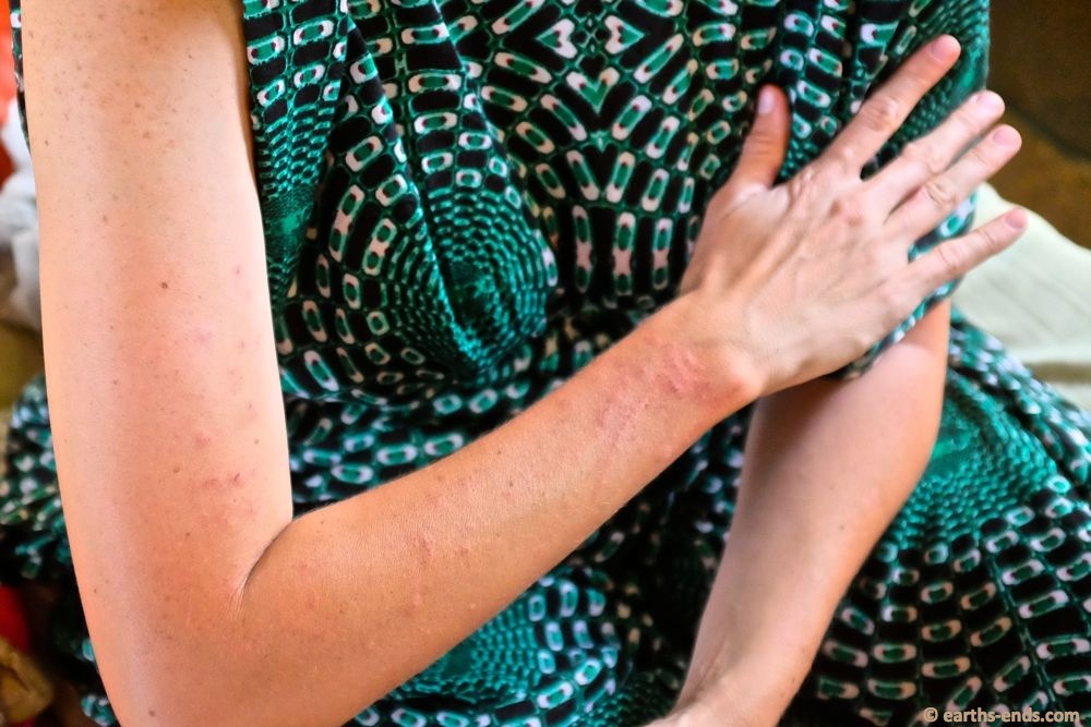
Our arms got ripped up by the acacia thorns.
Out the other side… finally. The 30km of so of acacia thicket was all 2nd gear riding. I was thankful I had double tubed the fronts and the rears were full of slime as we both rode over countless thorns. Later when I changed the tyres I removed many thorns that would have been guaranteed flats if it weren’t for the slime.
Dick had also mentioned that the trail we were riding was far easier to follow north to south than south to north. In the south, the trail is rarely used and every year it is washed away by the flooding water of the Omo, so trying to find the track is a real headache. We definitely found this to be the case as we headed south. As we cleared the acacia thicket and got closer to the Omo, the trail just disappeared. At one stage we had a rough goat track, then as the trail split it was down to one set of wheel tracks, but when that vehicle turned hard left towards a small boma on the banks of the Omo, we had nothing on the ground to follow at all. Just open flood plain. I had the GPS navigating to Dick and Donna’s house and all we could do now was follow the purple arrow and pick the best route we could.
As we got closer to Omorate, the track went down and down and down until we were following one single set of wheel tracks, and by that I don’t mean double track, I mean the trail was ‘one’ 4×4’s wheel tracks.
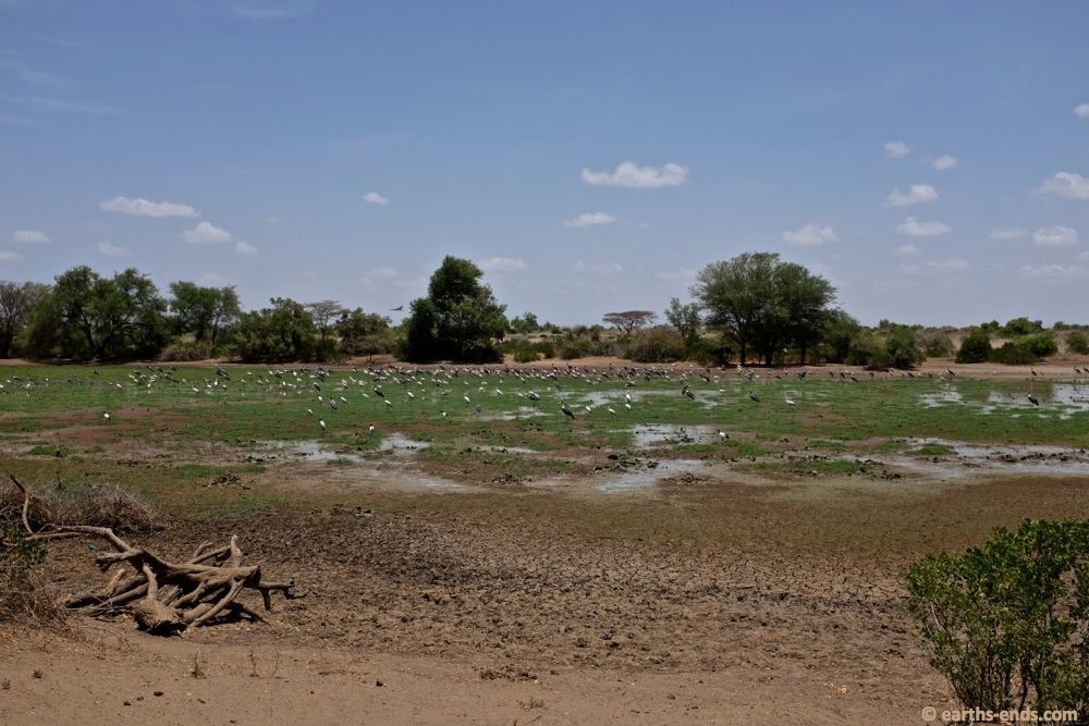
Lots of Marabou Storks in a fast drying water hole.
Off piste. Nothing to follow here. We knew that near the river there was lots of bulldust and sand, so we stayed on up a ridgeline that was about 3km back from the river.
Crossing a little gully up the ridgeline. We were just picking our way through all the obstacles.
We got up on a ridge that runs parallel with the river and headed south, picking our way through and around gullies. Once we were due west of Dick and Donna’s house we turned hard left. We were almost whooping in our helmets as we got down onto the flood plain and made our way to their compound. It had taken us a bit over 2 and a quarter hours to make the 75kms south from Kangaten justifying the decision to turn back to Kangaten the previous afternoon, otherwise we would have been off-piste in the dark. It was now quite hot and we were really looking forward to a cold shower. We had been on the road 10 days and we were yearning for some rest and hospitality.
Tan in an attack position
The aftermath of the acacia thicket. Tan spent most of the time in the right hand wheel track

Ripped up. On the intercom we were constantly yelping from the thorns ripping up our arms.
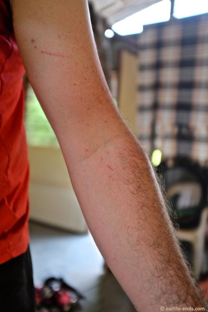
Whereas I was following and spent most of the time in the left hand wheel track.
Think you might like to ride through here? Please first read the little disclaimer I put at the end of the previous post; “A quick note on safety in the West Omo Valley”. In a nutshell; this area can be very unstable, so get up to date, local, and trustworthy security advice before starting.